UAV Slip Monitoring for Gathering Systems
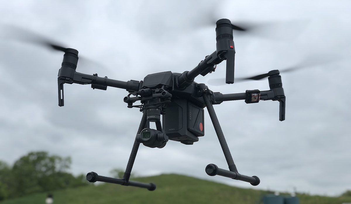
Utilizing state-of-the-art UAV equipment and innovative web-hosted geographical inspection and mapping data software, Verdanterra has provided multiple slip monitoring data collection services. This data has been paired with ground-based line inspection field data for accurate and near “real-time” area of interest monitoring. This client and others continue to benefit from Verdanterra’s real-time project updates, site conditions, and geographical data.
UAVs reduced both the type and extent of risk exposure for the field staff over this rough terrain. Multiple ROW slip sites were efficiently monitored and detailed for the client with Verdanterra’s web-hosted deliverables. UAV operations can drastically cut field exposure time, and nearly eliminate the need to traverse rough and unstable site conditions when collecting data.
Verdanterra projects
- Ashland to Ironwood 115kV Upgrade Project
- Blue Racer Midstream Product Gathering Program
- Blue Racer Midstream Stringtown Pipeline
- Downeast LNG Export/Import Project
- Enbridge Energy Sandpiper Pipeline Project
- Environmental Compliance Program
- Equitrans Midstream Corporation Gathering Program
- Northern Natural Gas New Lisbon Loop
- Spectra Energy Nexus Pipeline Project
- UAV and Land Survey for Construction As-Builts at Upstream Facilities